 |  |  |  |  |  |  |
| RunCalc | Documentation | FAQ | Login | Register |
| Users | Races | Maps | Mountains |
 |  |  |  |  |  |  |
| RunCalc | Documentation | FAQ | Login | Register |
| Users | Races | Maps | Mountains |
GPS track management in RunCalcIn this article I would like to summarize, what are the possibilities of RunCalc portal in scope of handling GPS tracks. Most recently, new options have been implemented, allowing creating track fragments and merging several fragments into one larger, which can be very useful for some runners. GPS track sourcesGPS track can be placed on RunCalc portal in three ways:
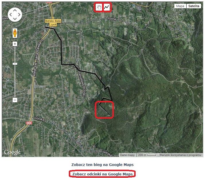
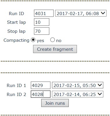
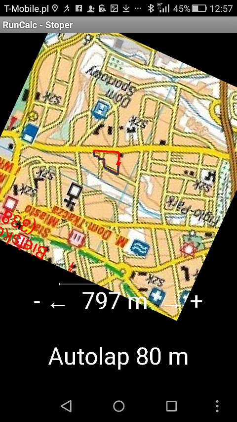
In the second and third case, you must first create a blank workout. In the third case GPX file may come from different sources, e.g. RunCalc application (detailed GPX file), sports watch, another portal that stores activities, race organizer web site, which provides course track, etc. RunCalc portal supports various versions of GPX files, which is generally accepted and most universal format for storing tracks.  GPS track modificationWhen your route is available on RunCalc portal, it can be modified in many ways. You can manually remove or add laps (at the beginning, in the middle and end of the route). You can also modify individual records. You can change location of route elements by dragging markers on Google Maps to another location. Besides, it is possible to modify the entire route through Correction option. The system automatically determines altitude in consecutive points basing on Google Elevation API. This is very useful when you drew route manually on the map and you would like to know its elevation profile. The system also calculates distance at each point and the calculation may be increased by a certain percentage. Correction option is also useful if you want to change start time and convert next split times. If you started stopwatch too early or you want to know net split times, not gross split times (it often happens in big marathons, when getting to the starting line takes us some time), you can modify time of zero lap and correct training. The value set at zero lap will be deducted from all registered laps and that way net split times will be set. In addition, you can equalize pace - set last lap time and choose Pace equalization option.  Recently, two options have been implemented: creating GPS track fragment and joining a few tracks into one. In both of these options, you need to create an empty run, into which relevant data will be copied from other tracks on RunCalc portal. In the first option you should set source run, start and stop lap. Time and distance are reset at the starting point, and consecutive laps are calculated. You can also compact your GPS track - this option decreases number of laps. The second option allows you to specify two GPS tracks to join. Time and distance of the end of the first track are initial values ??for the second fragment and subsequent laps are calculated according to these values. This way you can merge any number of fragments. For example, when you have 3 GPS tracks, first you join the first one with the second, and then you add the third one. This is useful for people who create course tracks e.g. for ultra races in the mountains. They often run a few fragments of the course and would like to merge multiple tracks into one.  With the above-described operations, it is advisable to open source tracks in a new browser tab (Ctrl and left mouse button on the link or right mouse button on the link and choose open in a new tab option). With all the options described above, you have to remember of 150 lap limit for one GPS track. If you combine two tracks and the total number of laps exceeds the limit, the system will make appropriate compaction. Previously, you can decide to compact GPS track manually. For example, if the first run has 70 laps and the second - 120 (total exceeds 150), you can manually compact the second run and then connect the two GPS tracks. Usage of GPS tracksGPS track are available on the portal RunCalc. You can see the course on Google Maps, watch elevation and pace chart, show pictures from the route using RunCalc Course Player (link). You can export the track to GPX file. If a run is set as public, other people can also download the file from RunCalc portal. Training can be easily sent on Facebook. Besides, it is possible to import the track to RunCalc mobile application and set it as a target course for navigation. As you can see, the possibilities of processing and using GPS tracks on RunCalc portal are pretty ample :-)   (c) 2010 - 2025 Robert Celiński, Byledobiec Anin |